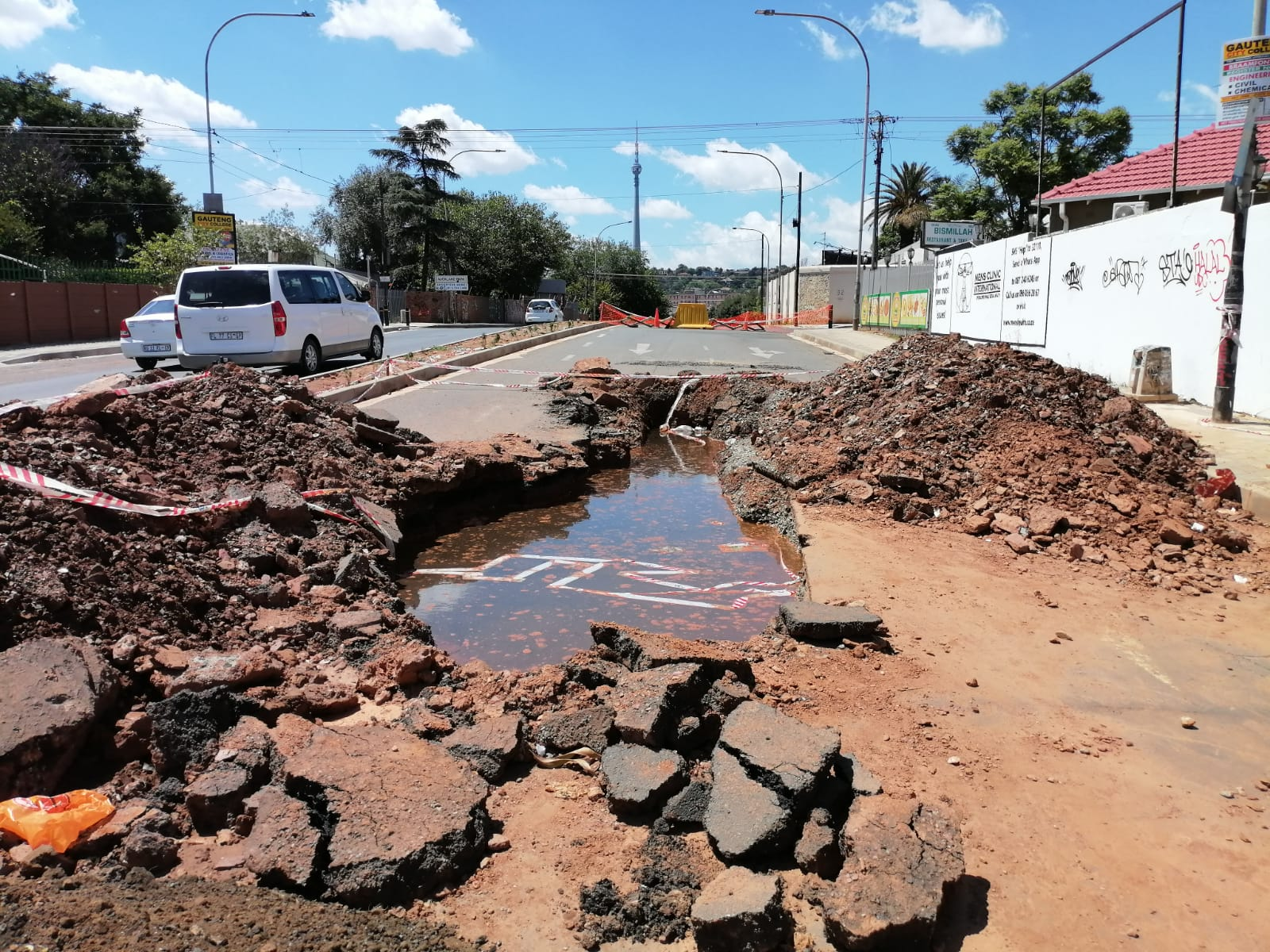
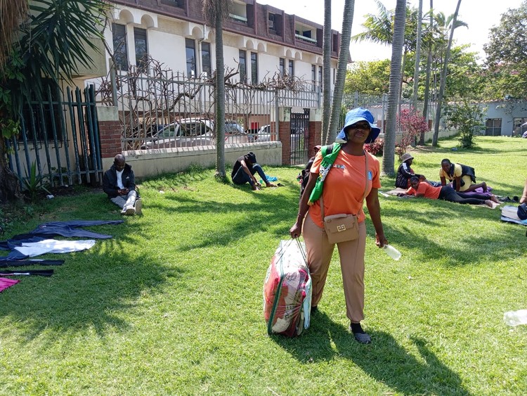
Siyahlala informal settlement during the heavy rains in September. Archive photo: Peter Luhanga
In one of the wettest years in the Western Cape’s recorded rainfall history, the storm of the 2023 Heritage Day weekend brought more rain in three days than in the two mid-winter months.
We asked Peter Johnston, who is with the Climate System Analysis Group at the University of Cape Town, to explain what happened and what can be done to reduce the risk of future weather-caused disasters.
The Heritage Day weekend rain was caused by a “cut-off low system” (COL). These develop in the upper air as a depression – a strong convective system causing instability in the upper atmosphere. Occasionally, this system deepens and extends to the surface, drawing in moisture and developing into an intense rain bearing cyclonic system. It is cut-off from the west-east flow of the usual frontal systems and slows down with an unpredictable path and volume of rain.
In this case it centred over the south-west Cape and dumped over 250mm of rain in 48 hours in some places. This, combined with some strong North-West and South-East winds, left a trail of destruction as trees fell and rivers overflowed. The damage caused runs into billions of rands and will take months to repair.
Cut-off lows are not uncommon, and while most are not as disastrous as this one, we have seen a few affect KwaZulu-Natal in the past few years, with higher loss of life. And of course the Laingsburg flood of 1981 was probably the most dramatic.
Their occurrence is not attributed to climate change, and they are part of the natural variability of the mid-latitude weather system. Having said that, it is only when they affect human livelihoods and natural systems that we take any notice. The question is then whether they are likely to become more frequent and more intense?
Research has shown that our warmer and more excited atmosphere, brought about by global warming, is leading to more intense rainfall (meaning heavy rainfall falling in a short period).
Rising sea surface temperatures and increased atmospheric moisture content could contribute to the formation of more cut-off low-pressure systems, such as the one which caused so much destruction in the Western Cape.
However, we can’t say that there definitely will be more cut-off lows, nor that they are more likely to occur where they can disrupt human activity. Studies have not managed to confirm any specific trend.
Homes flooded in Sandvlei in September. Archive photo: Ashraf Hendricks
To put things in perspective, September is generally a rainy and moderately wet month in the south-western Cape with an average of 12 rainy days in the month (at Newlands), compared to 14 in July and August, 13 in June and 12 in May.
But total rainfall in September is on average almost 30% lower than May, indicating that September rainfall tends to be less intense. That pattern was repeated in 2023, with many days of light to moderate intensity rainfall, until the Heritage weekend storm.
While the South African Weather Service correctly noted that COL frequency and associated flooding rains in the Western Cape tend to peak in the transition seasons (Spring and Autumn), historically, September shows a markedly lower COL frequency than March, April, August, October or November.
Since the sea surface temperatures around the Western Cape are lowest in September, moisture from local evaporation is reduced and September storms therefore tend to be less wet than similarly strong storms at other times of the year.
Most of the rain fell between late afternoon Sunday 24 September and mid-morning Monday 25 September. In line with the unpredictable nature of COLs the heaviest rainfalls occurred in small pockets.
The southern winelands, western and southern Overberg, Kogelberg and Cape Town City Bowl were hardest hit. However, heavy rain was experienced all the way from Namaqualand — Springbok and Nieuwoudtville saw record September daily totals of greater than 45mm — to the the catchments of the Nelson Mandela Bay Municipality dams.
The Western Cape Department of Agriculture‘s Bredasdorp station recorded 210mm for the event, almost half the annual average rainfall of the town. In official records dating back to 1878, only four monthly totals for any month have exceeded this number and no September has come close.
Many other places saw their highest daily rainfall for September. The 225mm measured at Molteno Reservoir in the city bowl also appears to be the highest September total in the Cape Town City Centre since records began in the 1880s, beating the 187mm in 1902 and 186mm set in 2008.
The extreme rainfall during June 2023, and the persistence of light rain and low temperatures through September led to very high soil moisture levels and full dams, meaning that any subsequent heavy rainfall event carried very high risks of flooding.
When heavy rain fell over the long weekend it’s likely that in many areas, the soil was nearly saturated. In such cases, almost all the record rainfall would have turned into streamflow, resulting in flooding.
In the case of the Bot River, the N2 bridge was washed away, effectively cutting off a major transport route.
The N2 bridge over the Bot River washed away in the September storm. Archive photo: Ashraf Hendricks
Cape Town’s climate, with the Day Zero drought and these recent floods bearing witness, seems to be experiencing extreme conditions more often, but it is important to put these events into context.
Firstly, natural variability means that, while they don’t occur in predictable cycles, we have always seen, and will still see, high variability in seasonal and annual rainfall, and temperature. Drought will remain a characteristic of our climate, as will heavy rainfall and destructive winter storms (though some models are predicting a decrease in frequency).
Secondly, the vulnerability of our human ecosystem, due to the fragility of infrastructure, overcrowding, poor drainage and sanitation, means that a disaster can occur within the scope of normal variability in climate.
Thirdly, the abundance of alien vegetation in the river catchment areas is exacerbating the flooding risks as well as the water supply. Clearing of these areas is a slow painstaking process and needs to be prioritised.
So, in the first case we can’t do much except be on the lookout, and keep our water supply options optimised. But in the second and third cases we need to maintain and expand the infrastructure with the extreme events in mind. This means mature and long-sighted planning, and regular maintenance and upkeep by the municipal and regional authorities, as well as responsible attitudes from all the residents. Increased resilience will result in fewer lives lost, less physical damage, and better water resource availability – things that we can all appreciate.
Data analysis contributions from Stefaan Conradie (Climate System Analysis
Group, University of Cape Town).


