A post,
Volunteers collect data to mitigate effects of global heating in Tshwane, first appeared on Groundup.
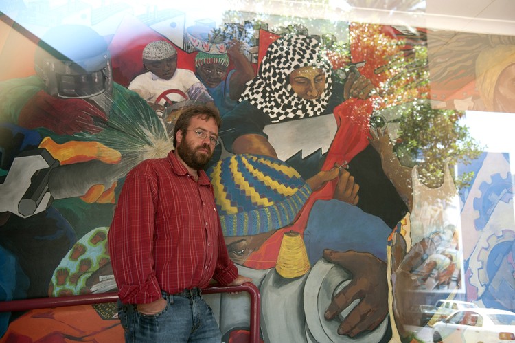
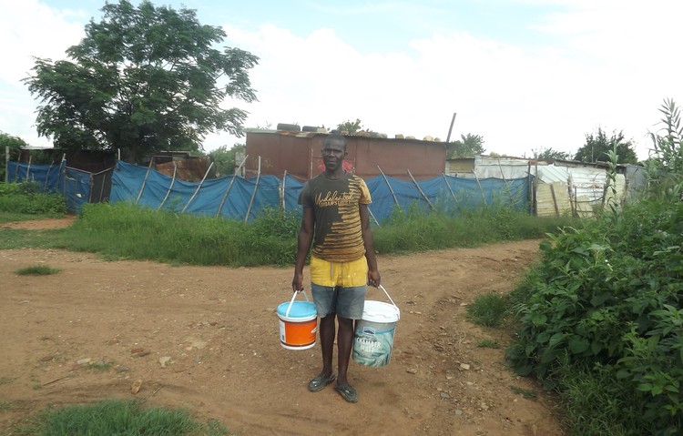
One of 16 local citizen scientists collects data from Mamelodi in Pretoria. The data collected from each site will help the City of Tshwane develop an effective plan to mitigate the effects of climate change. Photos: Jabulile Mbatha
About 16 volunteer citizen scientists led by members of the environmental NGO Planact, went to several communities in the City of Tshwane to do heat mapping.
The data is expected to help the City develop an effective plan to mitigate the effects of global heating.
City representatives expect the data will provide scientific evidence to motivate intensifying efforts to green the city.
A Greenpeace report from August 2023 notes mean annual temperatures in South Africa have increased by twice the global average (0.7°C) since 1990, making it the warmest year on record.
This week, about 16 volunteer citizen scientists, led by members of the environmental NGO Planact, went to several communities in the City of Tshwane to do heat mapping. Areas included Pretoria city centre, Arcadia, Waterkloof, Silverton, Equestria, and Mamelodi.
The plan is to use the data from each site to help the City develop an effective plan to mitigate the effects of extreme heat in the future.
Planact project Manager Tazmin Hudson said they had trained citizen scientists to use the temperature monitoring sensor equipment. “They were guided on the equipment to monitor air temperature, including the heat sensors as well as camera adaptors for FLIR (infrared) thermal imaging.”
Hudson told GroundUp the data will help the City “understand the heat dynamics to development early warning systems, the implementation of urban greening, roofing programmes as well as the implementation of new by-laws”.
“Until the data has been properly analysed, it is difficult to say which areas are hottest. It can be expected that Mamelodi and Mamelodi East will be at the top of the list, but parts of east Pretoria and west Pretoria will have pockets of high temperatures. It is for this reason that a 200km radius was designed,” she said.
Hudson said they expect the data analysis to take about three weeks, thereafter the map will be developed. One of the goals of heat mapping is to see where interventions like shade cover, tree planting, cool roof and paving painting can provide a cooler environment.
GroundUp joined some of the volunteers who spent an entire day collecting heat data from different areas in Pretoria.
Community facilitator Noluthando Geja lives in Itireleng informal settlement in Laudium. She says people living in shacks are hardest hit by climate change events, particularly extreme changes in the weather.
“Our chemical toilets become difficult to use in extreme heat. The municipality can take this exercise as an advantage and make sure that when delivering toilets to informal settlements, they bring new toilets that can withstand heat, rain and strong wind. It can be an innovation in itself,” Geja said.
Lutske Newton, director of climate change adaptation and resilience in the City of Tshwane, said the study was important in order to understanding how heat manifests in the city. “If you don’t have greenery, whether it’s trees, grass, or shrubs, it’s going to be a lot hotter. I believe we will have scientific evidence that heat correlates with how we green our environments. And that is going to help us build a very solid motivation for intensifying the greening of areas that have been historically neglected or intentionally neglected,” said Newton.
Nerali Patel, an urban planning expert at the World Bank, said the World Bank’s involvement in this project follows a study in 2023 “which showed that Johannesburg and Ekurhuleni alone may face up to six times as many hot nights per year by 2050.” She said they are happy to help more metropolitan municipalities interested in doing this project.
Other partners in the project included the National Treasury, the Swiss Secretariat for Economic Affairs, and other donors to identify marginalised communities that lack green spaces.


